Maps & Schedules
Everything you need to plan your next trip with LYNX.
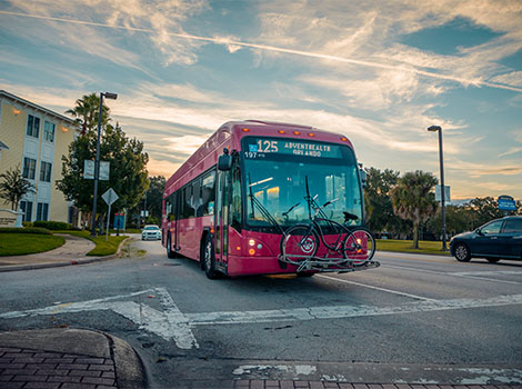
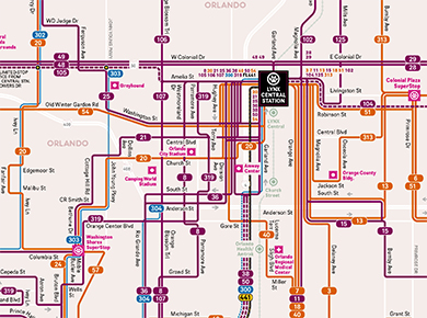

Ways to Ride
It’s your ride, your way. From local bus service to connections
with SunRail, choose the route that’s right for you.
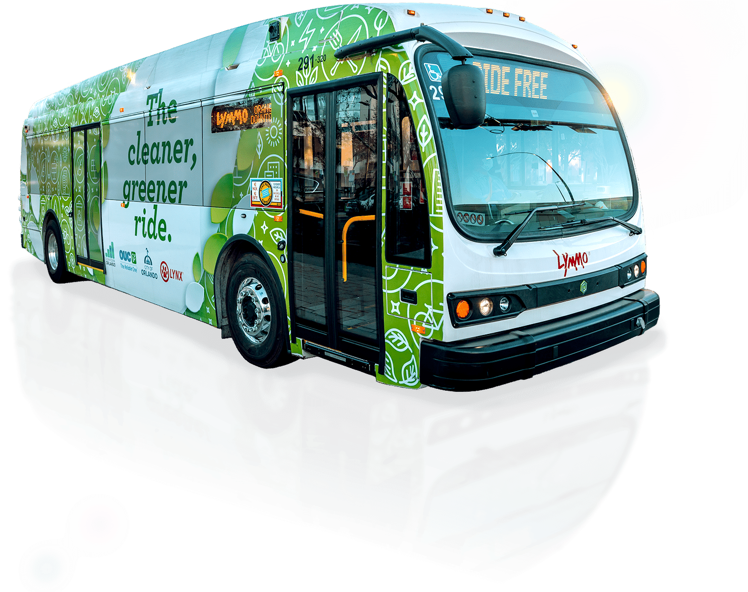
Connect with LYNX
No matter where you’re going, LYNX provides access to information,
technology, and resources to help improve your ride.


